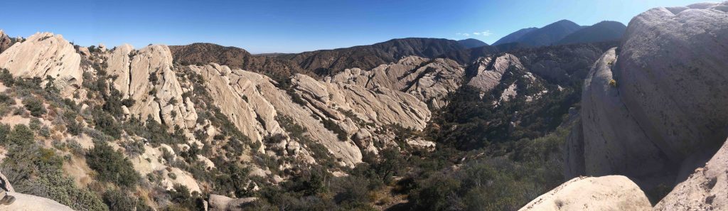
Deformation of sedimentary layers adjacent to the Puchbowl Fault, an abandoned strike-slip fault sub-parallel to the modern San Andreas Fault, Devil’s Punchbowl County Park, CA
These photos are from the course field trip for GEOS 477/577 at the University of Arizona, which I co-teach with Rick Bennett. This field trip was developed to give students the opportunity to gain first-hand experience with the structural and geomorphic features of active geologic structures. Because the characteristic features associated with strike-slip, extensional and contractional structures are different and require separate consideration, field stops have been chosen to focus on each of these settings. Stops focused on outcrop-scale investigation of fault zones have also been included in order to support our discussion of fault zone properties and their relationship to the different mechanisms by which faults accommodate slip at different depth ranges in the crust.
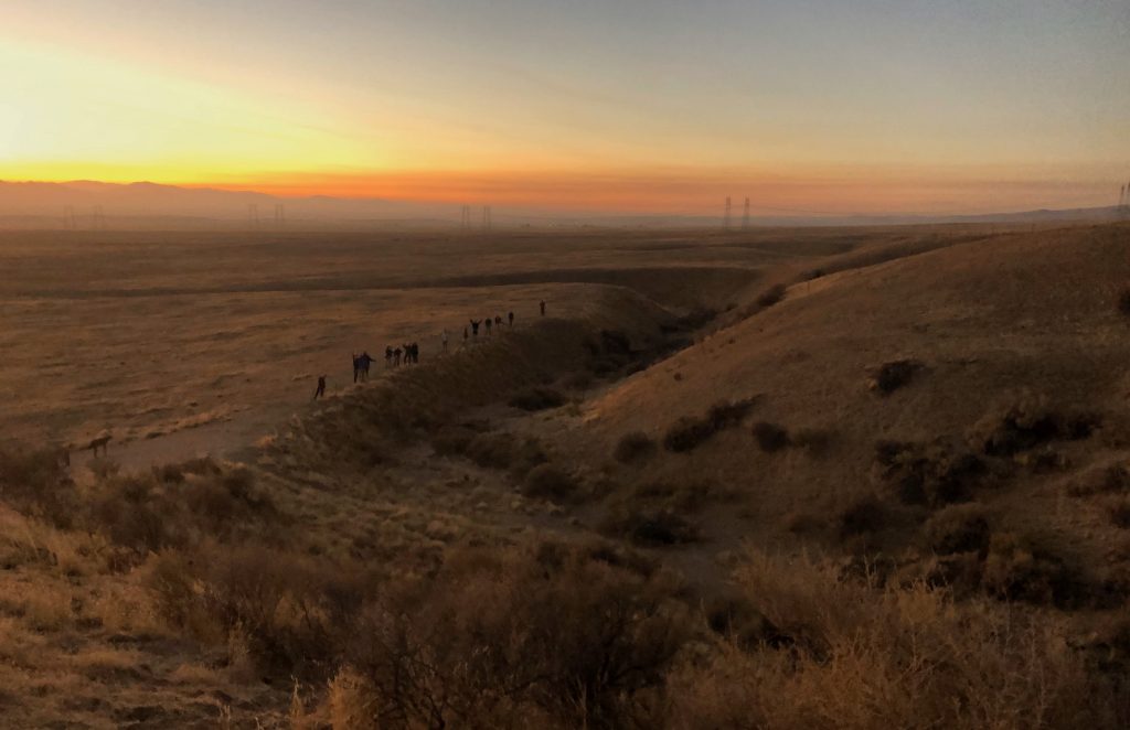
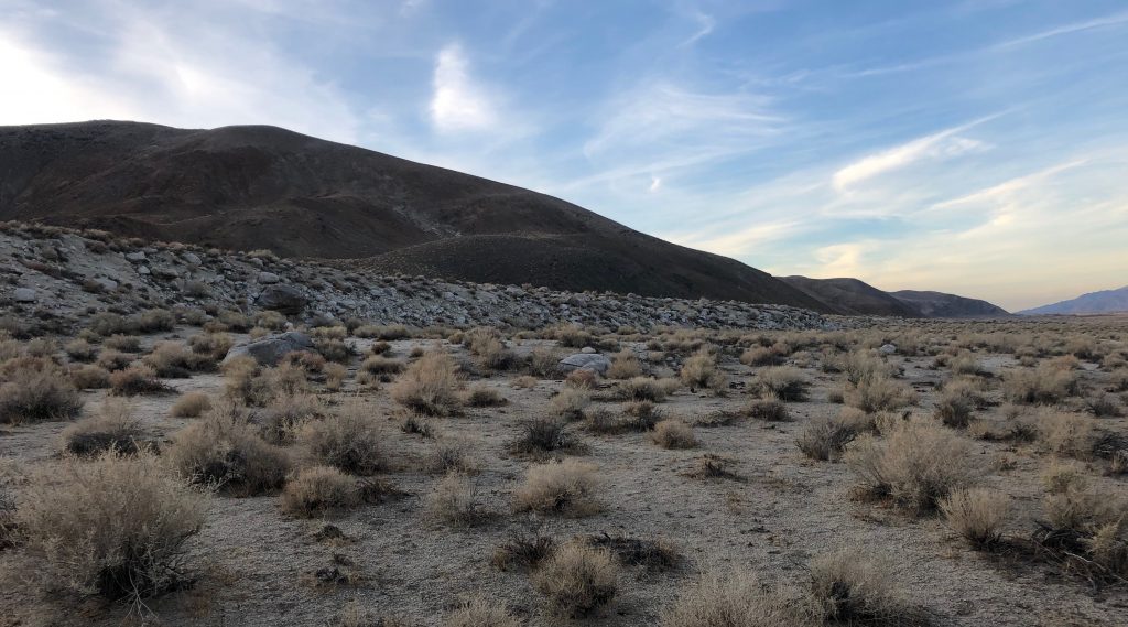
DAYS 1 & 2 FAULT ZONE PROPERTIES AND STRIKE SLIP FAULTS: The beginning of the field trip focuses on fault zone properties and a comparison between fault expression and properties in the seismogenic part of the crust and in the shallow part of the crust. Throughout day 1 and 2, the focus will be on strike-slip settings, as we made several stops along the length of the San Andreas and adjacent strike-slip faults from Cajon Pass to Carrizo Plain National Monument, following nearly the entire 350 km rupture length of the 1857 Fort Tejon earthquake, the last major earthquake on the San Andreas in southern California. We will also focus on the geomorphic expression of strike-slip faults, from examining the features that make for a good paleoseismic study site at Wrightwood to observing classic geomorphic expressions of the shutter ridges, beheaded channels, and offset channels that characterize strike-slip faults and permit evaluation of their slip rates. ADDITIONAL PHOTOS FROM DAY 1 & DAY 2
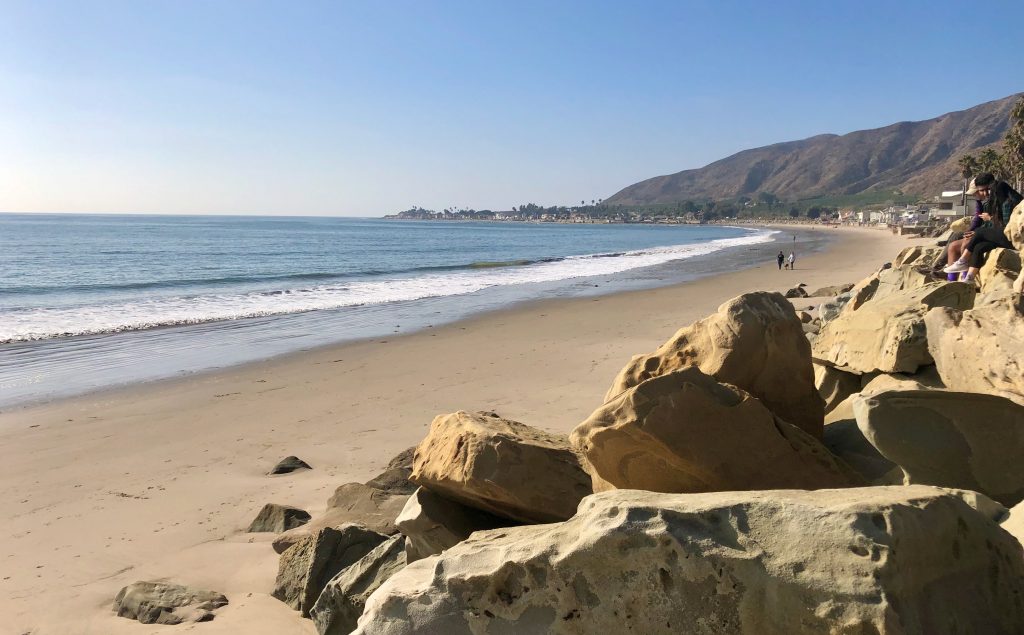
DAY 3 WESTERN TRANSVERSE RANGES AND SHORTENING STRUCTURES: On day 3, we drive through the Western Transverse Ranges, then make several stops along the coast from Ventura to Santa Barbara examining the structural geometry and geomorphic expression of shortening structures; by investigating the uplifted fluvial and marine terraces and fault scarp of the Ventura Avenue Anticline, we will also gain an appreciation for the methods needed to constrain the geometry and slip rate of shortening structures. ADDITIONAL PHOTOS FROM DAY 3
DAY 4 VARIED EXPRESSION OF EARTHQUAKE FAULT SCARPS: On day 4, we will drive to Lone Pine, stopping along the way to compare earthquake fault scarps from the 2019 Ridgecrest earthquake and the 1872 Owens Valley earthquake, enabling discussion of the similarities and differences in scarp expression. ADDITIONAL PHOTOS FROM DAY 4
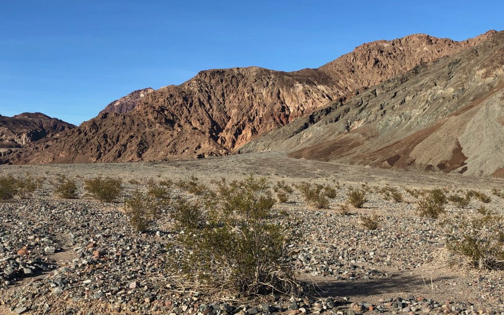
DAYS 5 & 6 DEATH VALLEY AND EXTENSIONAL STRUCTURES: On days 5 and 6, we will examine the expression of extensional structures in Death Valley, with stops focused on viewing growth strata geometries, evidence for quaternary offset on faults, overall basin geometry, geomorphic response to basin geometry and changes in climate, and the style and outcrop-scale characteristics of low-angle normal faults ADDITIONAL PHOTOS FROM DAYS 5 & 6